Topographic surveying is a method for mapping the earth surface, include the description or representation
of the natural and artificial features of an area.
Direct Survey Topography Method
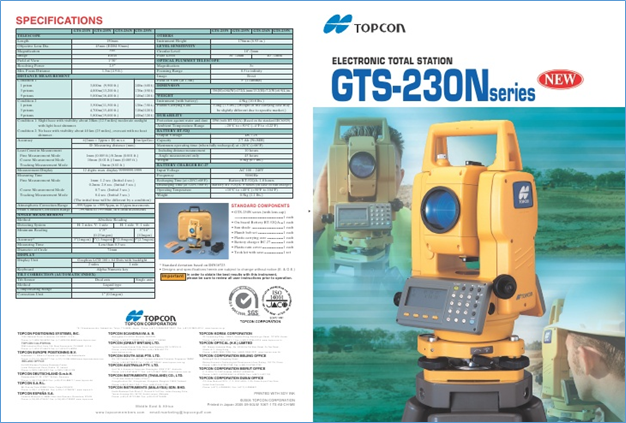
In direct survey topography, we use Electronic Total Station (ETS) device to obtain topographical
features information. Topographical features information consists of:
1.Landform
2.Elevation
3.Latitude/Northing
4.Longitude/Easting
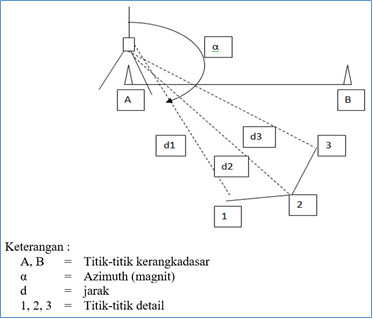
The ETS use tachymetry method to measure point(s), so that the point(s) measured contains angle
and distance referring to where the device stands. Benchmark(s) equipped with precise coordinate
should be built near the survey area for coordinate reference thus the survey has a better outcome.
Topographical Map
Points obtain from the ETS are plotted in GIS to capture, store, manipulate, analyze, manage,
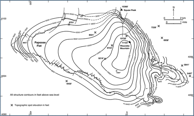
and present its spatial information. Contour lines could be generated by interpolating the points.
Contour lines are lines drawn throughout some points with same elevation on a map.
The Usage of Topography
Topography has a number of uses including:
1.Agriculture
Topography is often used in agriculture to determine how soil can be conserved and how water will
flow over the land.
2.Environment
Data from topography can help to conserve the environment. By understanding the contour of the land,
scientists can determine how water and wind may cause erosion. They can help to establish conservation
areas such as watersheds and wind blocks.
3.Weather
The topography of the land can have an impact on weather patterns. Meteorologists use information on
mountains, valleys, oceans, and lakes to help predict the weather.
4.Military
Topography is also important to the military. Armies throughout history have used information on elevation,
hills, water, and other landforms when planning their military strategy. Activities Take a ten question quiz
about this page.