PT. Prihaditama has successfully conducted a Bathymetry Survey for the rivers in North Kalimantan Province as part of a larger project related to the construction of a new industrial complex in the area. The purpose of the survey is to study the flood in the region, which will help the authorities to make better decisions for the safety of the people and the infrastructure.
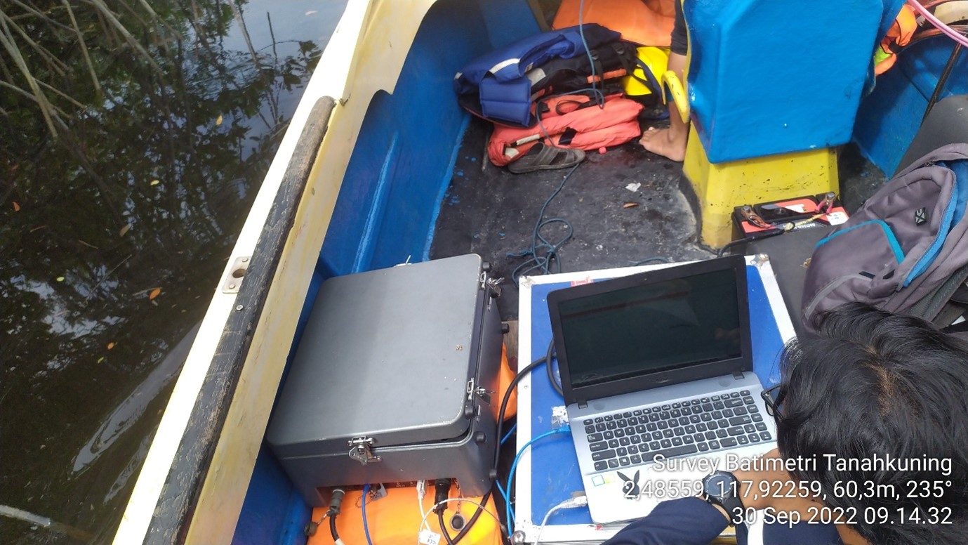
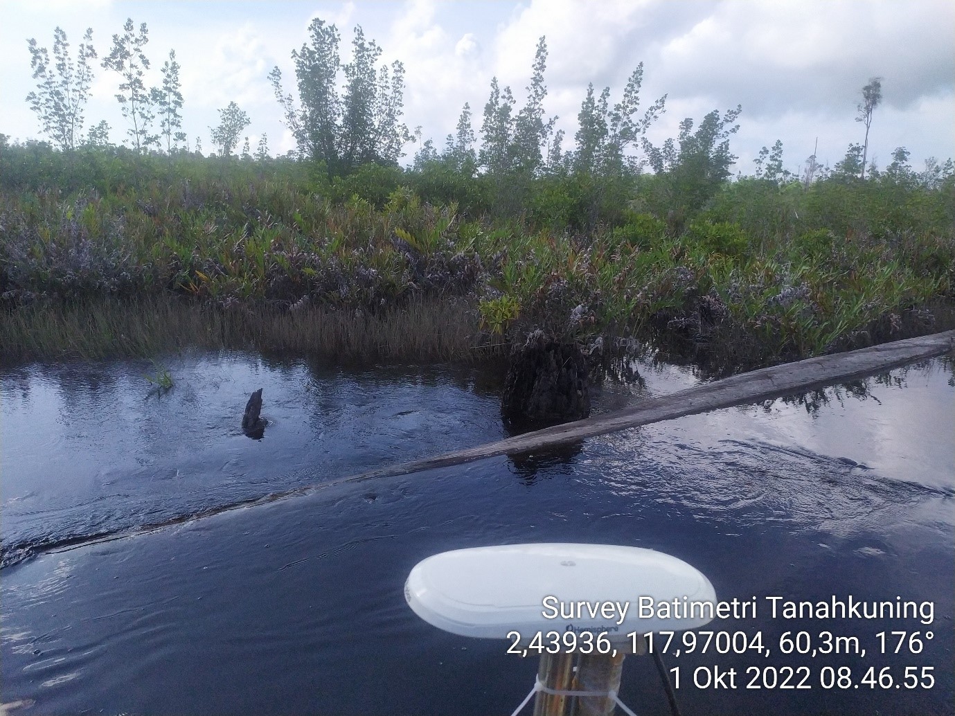
To conduct the survey, the Oceanographer team used two methods, namely the Echosounder method and the Topometric method. The Echosounder method uses a Singlebeam echosounder
(SBES) Odom Hydrotrac II and DGPS to get the position on the survey area. This method is used when the survey ship can navigate the deeper part of the rivers. A tidal survey is also conducted to correct
the depth that displays on the Singlebeam Echosounder. This is important as the tidal survey helps to correct the depth measurements, which can be affected by tides.
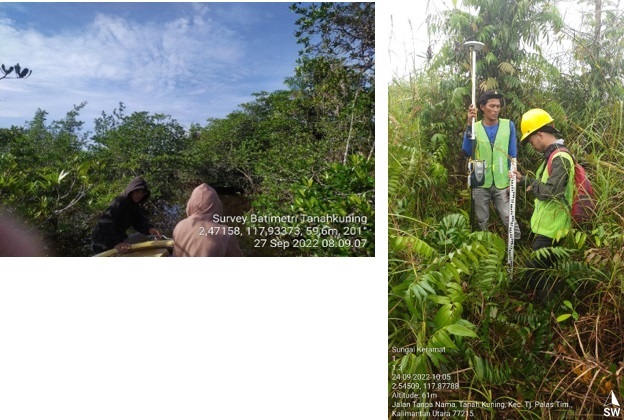
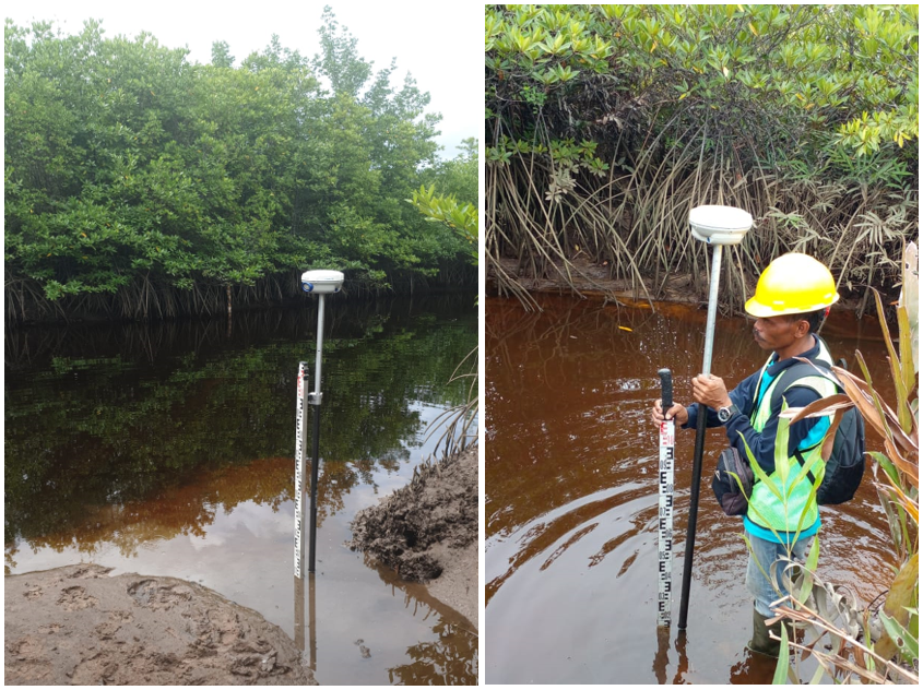
The second method used for the Bathymetry survey is the Topometric method. This method involves the use of Trimble R6 GPS RTK for positioning and Meter Shaft for depth measurement. This method is used when the survey ship cannot enter the shallower parts of the rivers. The use of GPS RTK helps to ensure that accurate positioning data is collected, which is crucial for conducting an effective survey. The Meter Shaft method is used for depth measurement and allows the survey team to obtain accurate data about the riverbed's topography.
The Bathymetry survey carried out by PT. Prihaditama is very valuable data that can be use to understanding the region's river system. The data collected through this survey will
provide valuable insights into the river's depth and topography of this area, which will help the authorities to make informed decisions about flood mitigation strategies and the safety of the infrastructure
of the new Industrial Complex in this area.