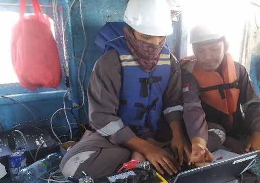
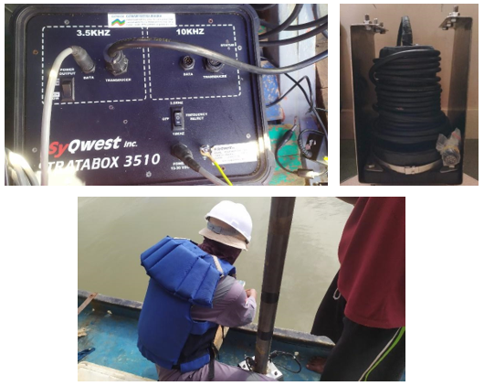
PT. Prihaditama carried out a Sub Bottom Profiler (SBP) survey project in Tanjung Carat, South Sumatra. The purpose of the survey was to obtain the reflection of the seabed for the construction plan of Tanjung Carat port, while the objective was to understand the condition of the seabed and beneath it based on SBP survey data. The project utilized instruments such as Differential Global Positioning System (DGPS) Hemisphere V200s, SBP SyQwest Stratabox, and supporting equipment such as laptops, 12V batteries, and inverters. The project involved a team of geophysicists, oceanographers, and surveyors, while data processing, interpretation, and report writing were carried out by senior geologists and geophysicists.
Shallow seismic can be applied to see the thickness of the sediment on the seafloor. The tool that uses this method and is commonly used for aquatic sediment exploration is the
Sub Bottom Profiler (SBP). SBP works by emitting seismic waves or sound waves from a source of vibration or explosion to the bottom of the water. These waves propagate and will penetrate the bottom layer
of water. The nature of the propagation of acoustic waves in the medium can be used to describe the acoustic medium based on its physical properties. Acoustic medium in the world of geosciences can be in
the form of air columns, water columns, and subsurface rock layers that have Acoustic impedance properties (acoustic impedance denoted by Z), namely the ability of rocks to pass acoustic waves through them.
Physically, Acoustic Impedance is the product of multiplying the speed of an acoustic wave (V) with the density of the medium (r). The harder a medium/rock, the greater the acoustic impedance, for example:
very compact sandstones have a higher acoustic impedance than claystone.
The results of observations of SBP data were correlated with sea drill data that had previously been carried out by the contractor. From SBP data and sea drill data, it can be concluded that this area has
geological conditions that have four layers consisting of sandstone, clay, and silt