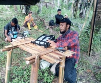
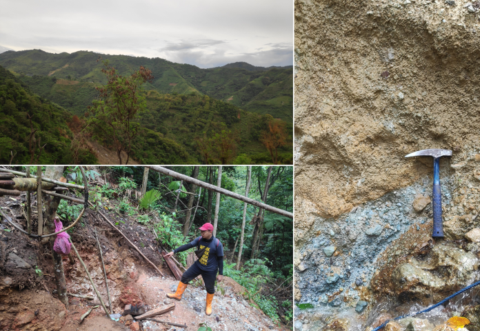
From 12 December 2021 to 28 December 2021 PT. PRIHADITAMA has carried out a Geomagnetic Survey in Gorontalo which is specifically in the Bone Pantai Village area with a total working area of 125 ha. Purpose of the Geomagnetic Survey is for mineral exploration. The location is in the jungle. In the several point area, there are already some local illegal mine. With this challenging survey area, we started our exploration with client team using Geomagnetic Survey.
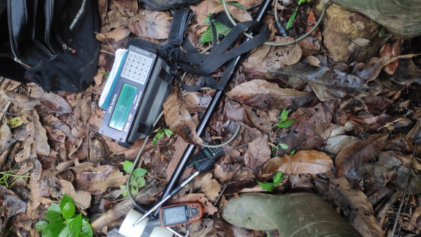
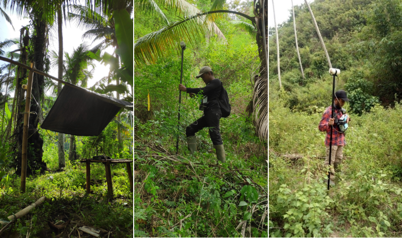
The instrument used in the Geomagnetic survey work is the proton precession magnetometer model GSM 19T, a product of GEM Systems Inc., consisting of three (3) units. Applications for the use of magnetometers consist of two units used as magnetometers to record magnetic fields based on position variations (rover magnetometer), and one unit to be used as magnetic field recorders based on time variations (base station magnetometer). The magnetic recording resolution is 0.01 nanoTesla and has a sensitivity of 0.15 nanoTesla per second.
Geomagnetic data acquisition basically records all magnetic field values consisting of the main magnetic field of the earth, magnetic fields originating from subsurface rocks induced by the main field, and/or man-made objects (made of metal materials such as iron and steel). that is above the surface or buried below the surface. Rocks containing magnetic minerals can be induced by the earth's magnetic field so that measurements of the spatial variation of the magnetic field can be used to estimate the presence of these minerals.
Magnetization is the result of multiplying the magnetic susceptibility with the earth's magnetic field (regional magnetic field) as an inducer. The main magnetic field vector becomes the core of the induced magnetic field vector which in turn forms a local magnetic field because the induced object has a magnetic susceptibility (magnetic susceptibility) which gives rise to a new individual magnetic field. The result of this induction is a dipole field resulting from the sum of the regional field vectors and the induced field. Magnetic susceptibility or magnetic susceptibility is the ability of a material/rock to become a magnet when induced by an external magnetic field/earth magnet.
The magnetic susceptibility of a rock depends on the type and abundance of magnetic minerals it contains. The process of magnetizing rocks is called the process of magnetism. Magnetism in rocks is the main attribute/character, especially when associated with the presence of iron-bearing minerals, aka magnetic minerals. Magnetite, titano-magnetite, and maghemite are ferrimagnetic minerals, and exhibit very strong induced magnetization. Magnetic minerals are generally part of the iron-titanium-oxide or iron-sulfide mineral groups. The most important magnetic mineral in rock magnets is magnetite. This mineral is common in igneous and metamorphic rocks, and is present in at least small amounts in most sediments.
The magnetic data recorded in the field has the characteristics of a dipole or two poles, so that the position of objects with high magnetic properties is not right in the middle of the high anomaly. Mathematical transformation is carried out on the data in order to obtain a monopole anomaly. The method used is reduction to pole and reduce to equator. Reduction to the pole is used to obtain an anomaly profile which is assumed to be in the highest magnetic latitude (inclination 90) so that the interpretation is by placing the peak of the source of the anomaly at the highest value. Reduction to the equator is used in low magnetic latitudes to concentrate the magnetic anomaly peaks above their source. This can make the data easier to interpret without losing any geophysical significance. At RTE the position of the source of the anomaly will be below the valley (lowest value) of the anomaly.
“Because of the erratic and complex character of magnetic maps, interpretation is often only qualitative. Indeed, interpretation is something of a fine art.” (Telford et al., 1990).