After completing the Geomagnet survey in Bajuin. We were ordered by our previous employer to carry out a geoelectric survey at the same location as the geomagnetic point. The geoelectrical work was carried out for two weeks after the geomagnetic survey was completed by the geomagnetic survey team.
Retrieval of 2D geoelectrical data in this survey aims to see the distribution of resistivity values laterally and vertically and delineate mineral potential based on 2D geomagnetic and geoelectrical data in the survey area. The results of this work are expected to be a consideration in making decisions for the next exploration activity.
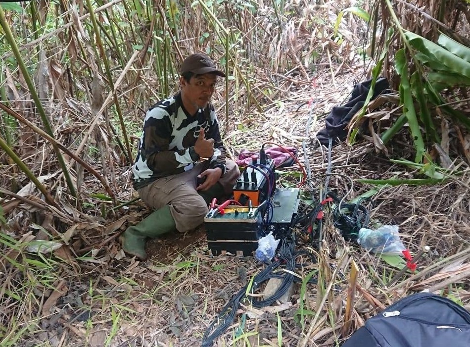
The electrode configuration used for this work is the Wenner configuration. Technically, the electrodes are stuck into the ground along the track in the amount of 48 sticks. The distance between the electrodes is 5 meters. The electrode configuration used has a total of 360 datums and the maximum apparent depth that can be obtained is around 38 m.
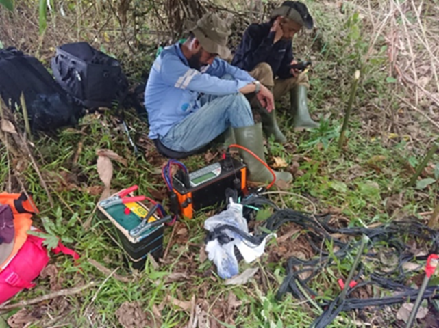
The instrument used in the geoelectrical survey is the Automatic Resistivitymeter model G5 produced by GF Instruments in the amount of one unit. The application of the use of a resistivity meter as a current injection unit and a potential difference recorder from the active electrode which is automatically regulated by a 48 channel switch box.
The geoelectric survey consists of several types of activities namely,
• Cable stretching from the beginning of the track (north) to the end of the track (south) on the magnetic track that was previously initiated.
• Installation of stainless steel electrodes that are plugged into the ground with a distance of 5 meters between one electrode and the other as many as 48 electrodes.
• The cable is connected to the electrode that has been plugged in and confirmed to be properly connected and perfect.
• Cable connection checks are automatically performed by the ARES instrument.
• Geoelectrical measurement is performed automatically after all connections are good.