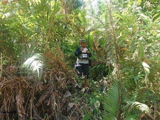
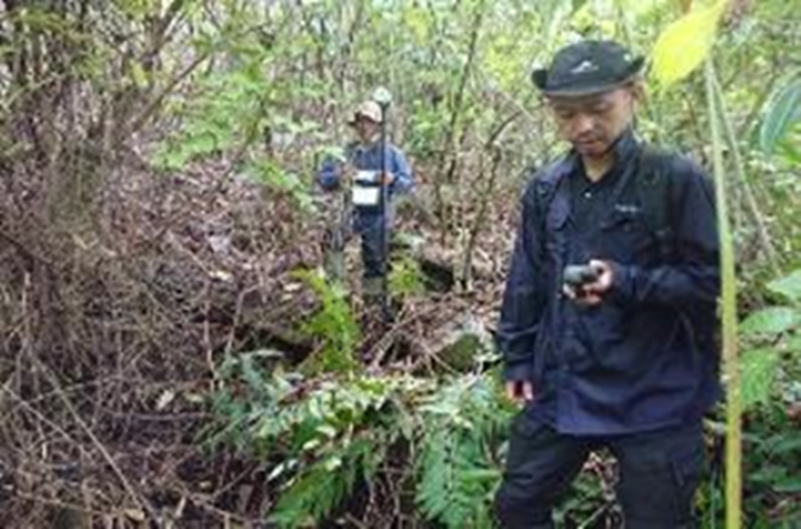
In May 2021 PT. Prihaditama has completed Geomagnet Survey Work in Bajuin, South Kalimantan. The equipment used for this work is Two (2) Magnetometer Rover units, One (1) Magnetometer Base unit with the brand Gemsys GSm-19T. The purpose of the Geomagnet survey that has been done by PT. Prihaditama is to observe anomaly of magnetic field in Bajuin, South Kalimantan. Anomalies of the geomagnetic field can detect and shows mineral resources or a geological structure in underground. Geomagnetic Survey is a part of mineral exploration that has been done by PT. Prihaditama in the region.
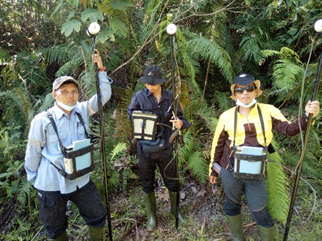
The geomagnetic survey was carried out using three sets of magnetometers with two magnetometer units for rover surveys, and one magnetic station unit to calculate daily variations in magnetic values in the area. Measurements at the base station are carried out every five minutes, so that a daily variation pattern at the survey location will be seen which will be used as a correction for the rover data. The rover's magnetometer moves along a predetermined survey path with measurement intervals of 25 meters. This rover magnetometer is also equipped with GPS to determine the position of the measuring point accurately. The rover's magnetometer data is then corrected with base magnetometer data which measures daily variations of the Earth's magnetic field at fixed locations.
The results of this geomagnetic survey indicate that there are several significant magnetic field anomalies in the Bajuin area, Pelaihari, South Kalimantan. These anomalies can be interpreted as indicating the presence of certain mineral resources or geological structures below the soil surface. These anomalies need to be followed up with other survey methods to ascertain the potential and characteristics of the mineral resource or geological structure.
The data generated from the acquisition of geomagnetic data will then be further processed using the RTE, RTP, Analytic Signal, and Continuation upward and downward methods. The results obtained from this method can be used for further analysis such as geoelectric. The results of the acquisition of Geomagnetic and Geoelectrical data can be used to determine the most suitable coordinate points for the placement of drill points, as proof of the interpretation of the geophysical data that has been acquired.