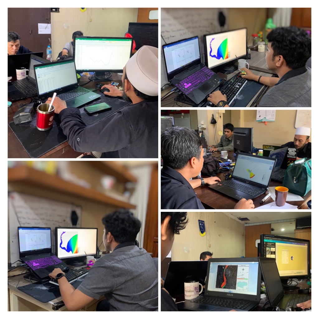
In February 2023, PT. Prihaditama has been appointed by Pertamina International Shipping in the form of a desk study of
Met-Ocean (Meteorology and Oceanography) conditions in water of Cilacap, Central Java.
This Metocean work aims to determine the best position in determining the plan location of the Regasification Plant and the FSU (Floating Storage Unit)
Ship anchorage in Cilacap waters.
This project is carried out by collecting secondary data in the form of meteorological and oceanographic data. The data needed to see the metocean conditions
in an area are Meteorological data consisting of wind and rainfall data, and Oceanography data in the form of bathymetry data, ocean tides, and ocean currents.
Prihaditama analyzed Meteorological data so we can determine climate condition (rainfall and wind) were known at this location. Rainfall data can determine
the most ideal or worst months to carry out the construction of an offshore building, the most ideal time to carry out construction is during the peak of the
dry season, and the worst time to carry out construction is during the peak of the rainy season. Wind data can be used to see the dominant wind coming from these
waters. After analyzing meteorological data, a metocean expert will perform wave modeling using the wind data.
For oceanography data we use tide data and global current data closest to the study location. Because of the condition of the ocean current data obtained comes
from global scale satellite data so that the data cannot represent the actual conditions of the study plan location. In order to obtain a better current model,
modeling of ocean currents is carried out by using ocean tidal data obtained from secondary data.
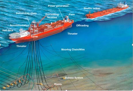

image source from http://www.zoombd24.com & https://finance.detik.com
Determination of the best position of an offshore structure (gasification factory and FSU ship anchorage) to be made based on metocean
data is by considering the coordinate position, deep depth, small currents, and low wave height.