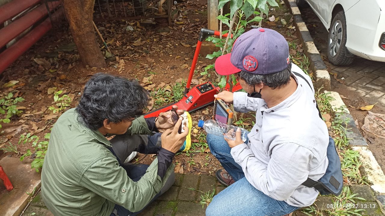
In 2022, RSUD Tangerang will do some constructiona at their building. The problem is the soil bellow the building is not strong enaugh so the pile must be on the bedrock. To investigate the depth of the pile and the bedrock, gpr was held around all the pile in the RSUD building.
Ground Penetrating Radar (GPR) also known as Georadar. It is method from geophysical engineering that use the propagation of electromagnetic waves that respond to changes in electromagnetic properties of the medium below the surface. The speed of electromagnetic wave propagation is the main controlling factor in the occurrence of reflection events, which are highly determined by the contrast in relative permittivity values between the background medium (embedding media) and buried/target object, or can be a contrast between layers.
The GPR method works by having a frequency range from 25 MHz to 2 GHz (2000 MHz). There are several option for antenna frequency. It varies according to the purpose of the survey or investigation. Selection of an antenna with a higher frequency allows better resolution results, but the target depth is shallower. On the other hand, selecting an antenna with a lower frequency allows for a deeper target depth, but with a less good resolution.
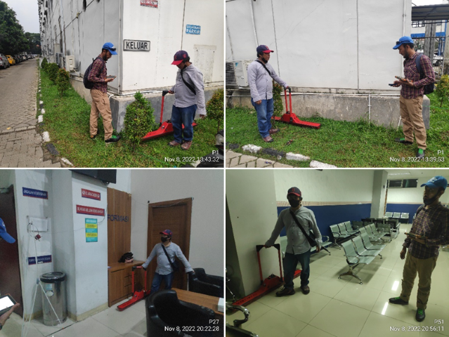
GPR survey activities at the Tangerang Hospital, it was carried out to determine the strength of the foundation on each foundation pile. So it is necessary to investigate the depth of the pile foundation and the depth of the bedrock which has a depth that is not shallow. This survey activity requires a GPR antenna that has a low frequency so that the depth obtained can be more optimal. Data collection is carried out on each side of the foundation pile to get a detailed picture.